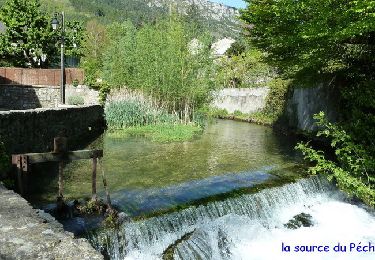
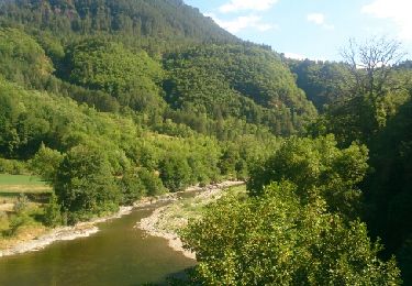
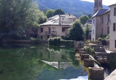
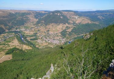
15.3 km | 24 km-effort
Etape 6 : Le Temple - Saint-Enimie
cestrom
User
Length
16.8 km
Max alt
1038 m
Uphill gradient
356 m
Km-Effort
23 km
Min alt
464 m
Downhill gradient
823 m
Boucle
No
Creation date :
2014-12-10 00:00:00.0
Updated on :
2014-12-10 00:00:00.0
5h00
Difficulty : Very easy
FREE GPS app for hiking
About
Trail Walking of 16.8 km to be discovered at Occitania, Lozère, Gorges du Tarn Causses. This trail is proposed by cestrom.
Description
6e jour
Positioning
Country:
France
Region :
Occitania
Department/Province :
Lozère
Municipality :
Gorges du Tarn Causses
Location:
Quézac
Start:(Dec)
Start:(UTM)
542608 ; 4909728 (31T) N.
Comments
Trails nearby
Le Sentier des Couronnes - Florac
Walking
Difficult
(4)
Florac Trois Rivières,
Occitania,
Lozère,
France
5h 0min
Yes
Ispagnac et Quezac
Walking
Easy
(2)
Ispagnac,
Occitania,
Lozère,
France
8.8 km | 12.5 km-effort
2h 22min
Yes
Panoramique des couronnes
Walking
Difficult
Florac Trois Rivières,
Occitania,
Lozère,
France
14.9 km | 23 km-effort
5h 43min
Yes
Boucle Causse Méjean
Mountain bike
Easy
(2)
Vebron,
Occitania,
Lozère,
France
30 km | 37 km-effort
2h 27min
Yes
Etape 8 Florac/Cassagnas
Walking
Medium
Florac Trois Rivières,
Occitania,
Lozère,
France
20 km | 26 km-effort
5h 20min
No
de Florac à St Enimie par le Causse de Sauveterre
Walking
Very difficult
Florac Trois Rivières,
Occitania,
Lozère,
France
27 km | 41 km-effort
9h 26min
No
La Condamine, le Single
Walking
Easy
Gorges du Tarn Causses,
Occitania,
Lozère,
France
11.3 km | 14.8 km-effort
3h 15min
Yes
Monteils
Walking
Medium
Florac Trois Rivières,
Occitania,
Lozère,
France
12.2 km | 17.1 km-effort
3h 40min
Yes
florac-signal du Bougès-Florac
Walking
Difficult
Florac Trois Rivières,
Occitania,
Lozère,
France
30 km | 46 km-effort
7h 48min
Yes